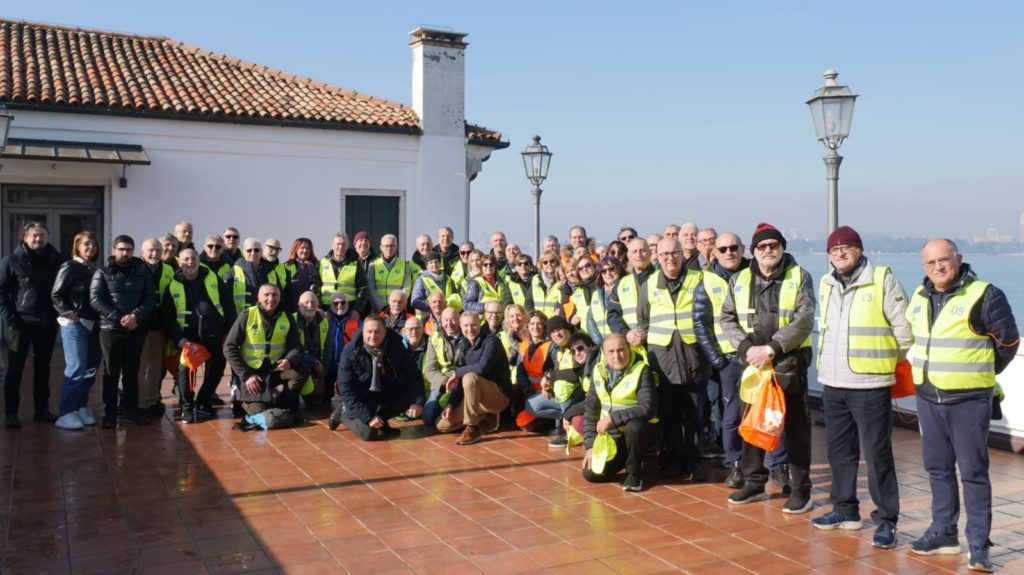
On 2 February 2024, the Metropolitan City of Venice, represented by Enrico Gavagnin, organised an activity with retired police volunteers to monitor crowd movement in a crisis. This exercise aimed to reflect on crowd speed in the face of an emergency scenario, especially in light of people’s tendency to alter their movements due to panic and obstacles such as narrow roads, stairs, crowds and more.
Fifty retired policemen and women were called on to participate in this simulation that feeds into the project’s Personalised Evacuation Route use case. These volunteers met on San Servola island to help visually represent the change in crowd speed stemming from different obstacles put in their path. They’re long professional career as first responders in times of crisis, added a layer of realism to this exercise and allowed them to share their knowledge, skills and passion for the benefit of the project.
Their participation also served to increase their understanding and support for this project’s objective. Including these civic-centred men and women helps create advocates for the project and its solutions.
Watch the recording below!
Panic, the idiosyncratic layout of Venice, its high number of tourists who are unaware of how to navigate the city are among the key threats that affect effective crisis management. It is important to consider how an individual agent can move away from a dangerous scenario, for example, a fire, into a safe area, taking into consideration their speed and potential obstacles.
The EXTRACT project seeks to involve cirizens in the the research process to help them shape the solutions proposed for them. As Enrico Gavagnin highlights
The simulation aimed to illuminate the intricate dynamics of crowd movement and the importance of personalised strategies within the context of the EXTRACT project
Enrico Gavagnin

The EXTRACT project is developing a distributed data-mining software platform for extreme data across the compute continuum. In the case of the PER, this software will take the shape of a mobile application that is capable of generating personalised routes for safe, human-centred solutions.
Drawing on technologies like AI-based computer vision, reinforcement deep learning, urban digital twins, the project will create an extreme data-mining workflow capable of processing and analysing extreme data on edge, cloud and HPC technologies using data from Copernicus, Galileo, IoT sensors, 5G mobile signals and more.
The 2 February 2024 simulation represented a powerful way of bringing together science, policymakers and the public. Integrating potential citizen stakeholders will help create fellow advocates of the proejct and help ensure that the solutions provided by the project are useful and responsive to citizen needs.
We thank our volunteers for their time and first-hand knowledge of crisis scenarios.

